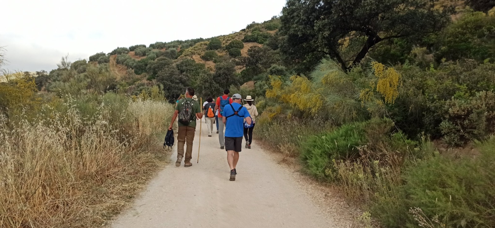
The “Camino de la Piedad” itinerary, in its section of Algarinejo, is a linear itinerary that has its starting point in the Carril del Salto, at the junction of the same with the GR-5400 highway, approximately sixty meters to the north from the bridge of this highway with the Arroyo de la Viña (next to the municipality of Zagra). From this place and through a dirt track, which is in very good condition, the itinerary takes a southwest direction running parallel to the Arroyo de la Viña.
About 400 meters from the start, the Arroyo de la Viña is joined from the southeast by the Arroyo de Zagra, changing its name from this place, which is now called Arroyo Blanquillo. The itinerary continues to the north of the course of the stream in parallel. About 900 meters from the start, we find the Cortijo del Salto, which we leave behind and continue along the track. 400 meters after this property there is a crossroads, where the track that is being traveled heads south, crossing the Blanquillo Stream and heading towards lands of Loja. The itinerary turns north to look for the Pesquera River.
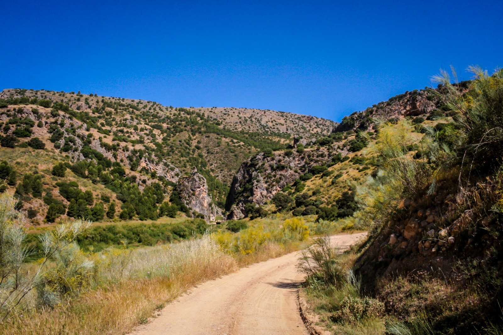
It is precisely about 1300 meters from the beginning of the itinerary, where the track turns north, the place where the Cerradura viewpoint is located, from where we can contemplate beautiful panoramic views of the tail of the Iznájar reservoir and the Lock of the Pesquera river.
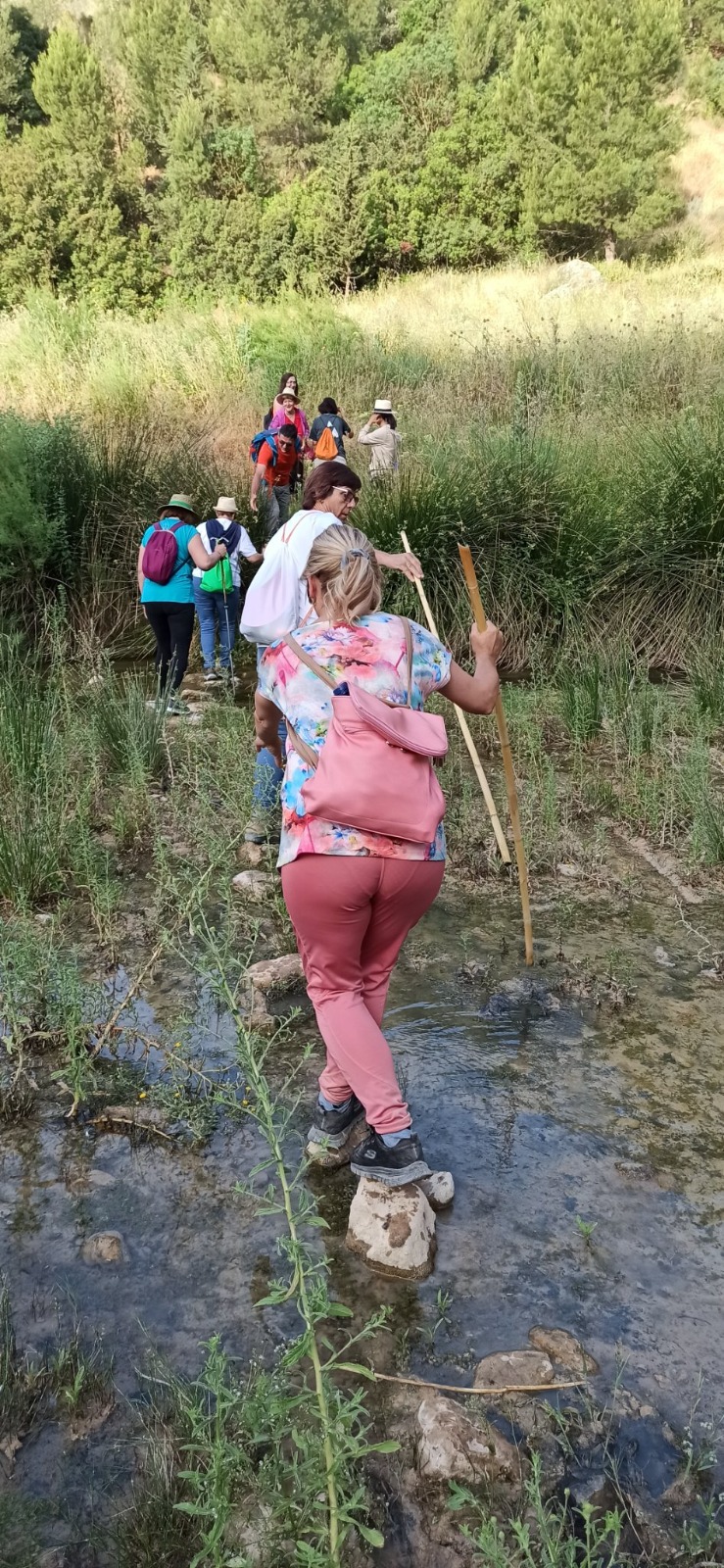
The river has to be forded. Once forded, the itinerary runs along a path approximately one meter wide. The limit of the northern margin of the Iznájar reservoir is traveled. Although in summer or in periods of drought the waters of the swamp do not reach here. Then continue in a southwesterly direction until you cross the Cerradura ravine or Morrón ravine, from where the itinerary begins to gain altitude and changes direction to the east.
In this first section, in its first 400 meters, we find steep slopes, reaching 30% in some sections. At this time an important change of landscape takes place, abandoning the riverside vegetation to enter olive groves. After entering the area dominated by this crop, the slope subsides and the type of surface also changes, returning once again to a dirt track in very good condition for traffic.
The route continues in an easterly direction and gradually gaining height. Once you reach the left bank of the Fresnedilla ravine, the path changes direction again, now heading north in search of the Villavieja archaeological complex, which remains to the east of the itinerary. It is recommended to visit it. We continue north along a dirt track, although its first three hundred meters are concreted, towards the town of Fuentes de Cesna. Before reaching this objective, we pass by the Molino de Lopera mill, which is to the east. 800 meters after the mill we come to the highest point of the route. We continue until we enter the urban center of Fuentes de Cesna, next to the cemetery, it will be the moment in which we change the direction of the path to head southwest.
Descending gently until we reach the unpopulated area of Fuentes de Cesna. We cross the beautiful remains of the Fuentes de Cesna desert, and head west, gaining altitude very gently until we reach the Erillas viewpoint. From here we change direction towards the northwest looking for the limit of the municipality of Algarinejo with that of Iznájar. Point at which this section of the Camino de la Piedad ends through the municipality of Algarinejo.