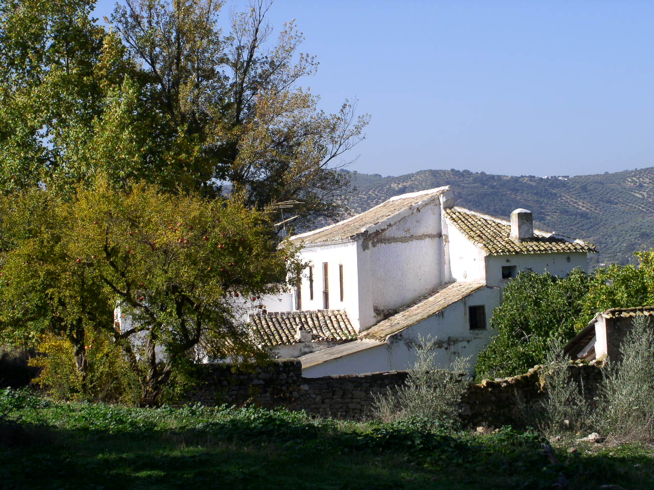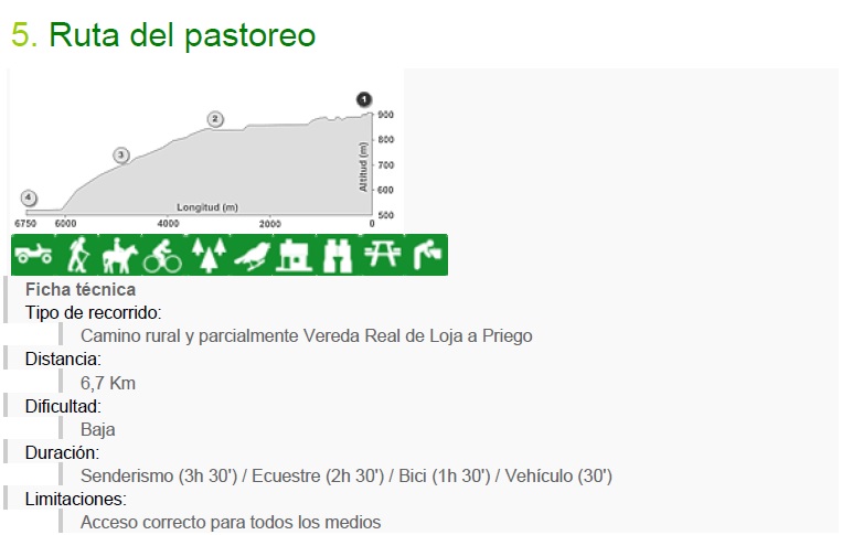
The route starts from the N-321, which is linked by a flat country road that goes through olive groves, holm oak groves and old farmhouses such as the village of “Cruz de San Sebastián”. Without leaving the main road, it connects with the “Realenga or Vía Pecuaria de Loja a Priego”, where there are wide panoramic views over the Montes de Granada and the Sierras Subbéticas, due to the altitude of the route. La Realenga descends between very mature Mediterranean forests, to reach the exceptional enclave of the “Tajos de Chite”, deep ravines of limestone nature with singular landscape forms.
From this place of interest, we continue descending the Vía Pecuaria until connecting with Route 4 at the “Cortijada La Venta” (Ruta de los Ríos y sus Hábitats), the other reverse starting point of the itinerary and rest area on the banks of the “Río Pesquera”, remarkably mighty in this enclave of environmental and landscape interest.
environmental
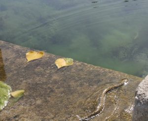
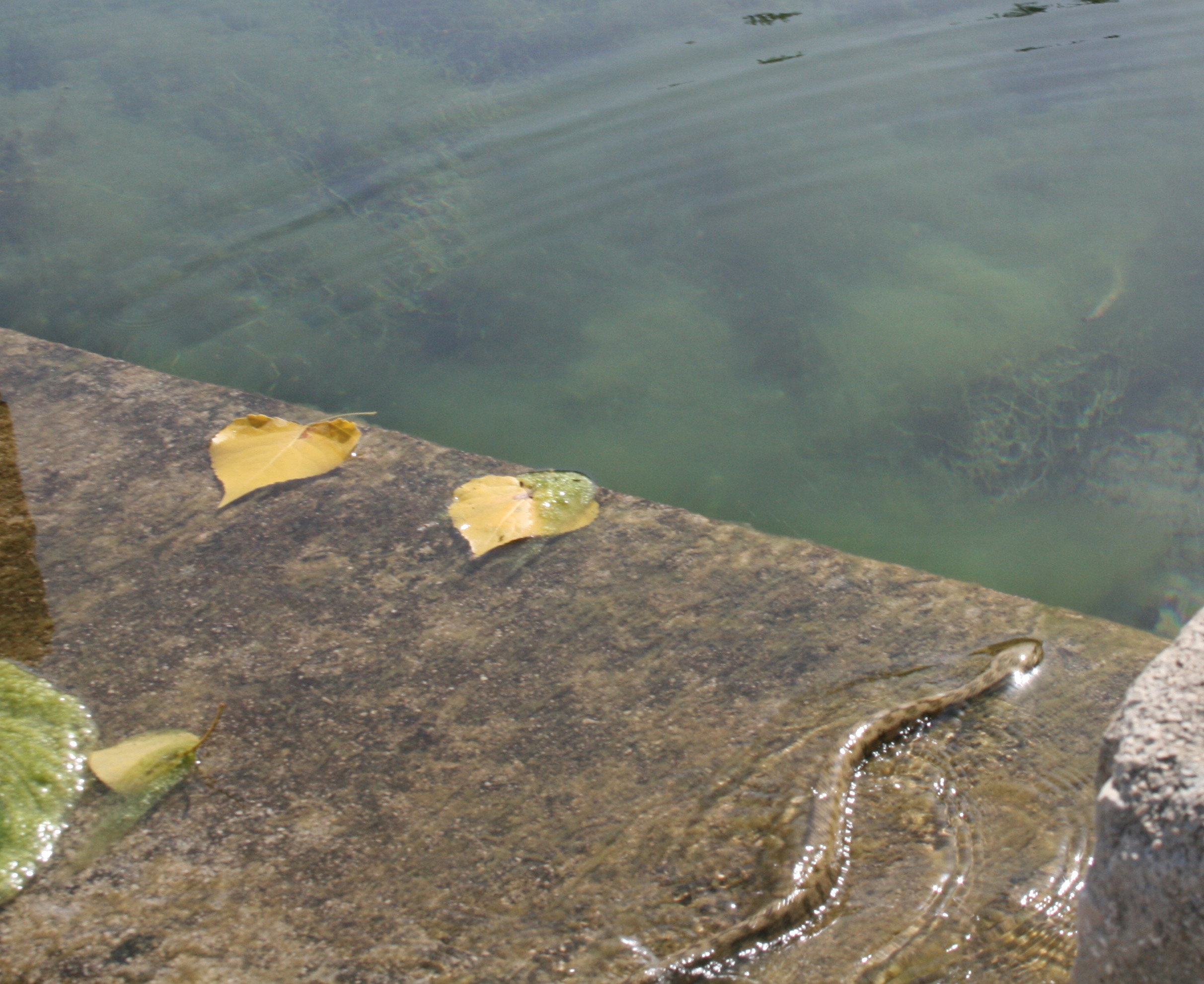
The route goes through a medium mountain environment where two main units are differentiated: the “Sierra de Castillejos”, to the North, and the “Sierra de Chite”, to the South, which in a W-E direction close an internal basin such as the Chite area. . These sierras have a unique geomorphology of abrupt, emerging peaks and high relative slopes, as well as pits and jumps on limestone (“Tajos de Chite”). A rainfall of 700 mm guarantees the supply of the streams and sources, in the case of the “Arroyo de Meliena – Chite” and the “Fuente de Chite”.
It is an area of great forestry interest, in the case of the Chite enclave, dominated by the Holm oak (Qercus ilex) and highly biodiverse shrub formations: barberries, rock roses and junipers. The degree of humidity allows the appearance in the shady areas of large gall-oaks (Q. faginea), which form pure or intermixed stands. The complexity increases with the appearance of more thermophilic species such as the Cornicabra or the Mastic in low areas. It is necessary to emphasize the existence of hundred-year-old trees such as some gall oaks and the thousand-year-old “Encina de Chite”.
It is also an occasional and sporadic hunting ground for large birds of prey such as the Bonelli’s Eagle and the Golden Eagle. Also presence of Ladder Snake, Bastard Snake, Garduña, Weasel, Genet, Wildcat, Common Vulture in passing, Red Partridge, Wood Pigeon, Common Raven, Darttail (in abundance), Rabbit and Common Hare.

Cultural
The economic history of Algarinejo during the Ss. XVI-XX is the cattle practice, although the livestock character of the territory must start before at least since Roman times and strengthened during the Muslim Andalusian era. Algarinejo’s network of livestock routes was strategic for the movement of cattle, sheep (rabúa sheep) and cattle, especially between the Genil river valley and Subbética. In the roads of meat (according to local denomination) abundant cattle transited, documenting the collection of taxes in places of obligatory passage (bridges).
This regional transhumance exploited the pastures of “Castillejo-Chite”, large oak groves with abundant pastures in spring-summer. The acorn was used by local producers for the autochthonous pig montonera, a fact that originates a pork industry of considerable quality that continues to this day.
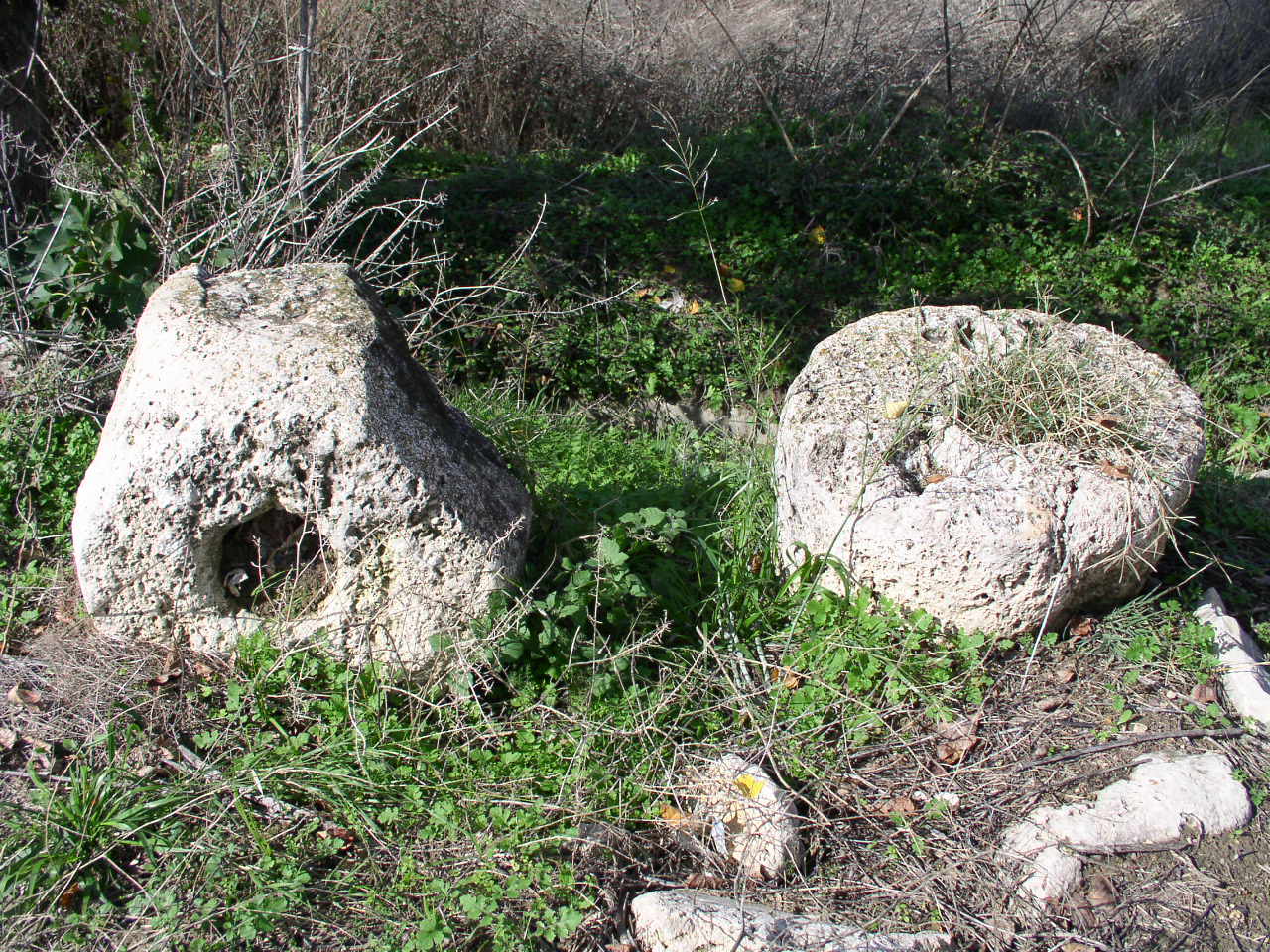
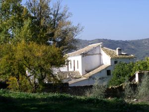
The abundance of wool required an industry that accompanied the development of livestock, the so-called “fulling mills” that are built in the streams of Algarinejo from the 16th century, to produce quality cloth. Also, the buildings of ethnological interest have an excellent representation on the route, with various types of different chronological stages (Cortijo Bentomiz, Cortijo de Chite) along the Vía Pecuaria.